It was not so long ago that we used paper maps to navigate, yet today we use
our phones for everything – including navigation. It’s hard to imagine a world
without our maps application or navigation system. How did we become so
dependent on this GPS technology? Why is GPS so important in our lives?
Before we dissect GPS’s role in the world today, let’s talk about what
exactly GPS is and how it works. The Global Positioning System (GPS) is
actually run by the US Department of Defence, a project that started in 1973 in
search of a better navigation system. Originally developed for military use,
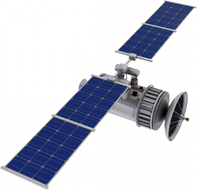
the system consists of 24 satellites travelling 19,300 km above the earth in
controlled orbits twice a day. These satellites are built to last 10 years and
are replaced after this time by a new one that gets launched into orbit.
To access GPS data one must use a GPS receiver. The receiver must be locked
onto the signal of at least three satellites to calculate a 2D position
(latitude and longitude) and have the ability to track movement. With four or
more satellites, the receiver can determine a user’s altitude, making it a 3D
position. This process of locating is called trilateration, where the
intersection of three sphere surfaces determines a user’s location. GPS can
determine location, velocity, time, speed, bearing, trip distance, distance to
destination, sunrise, and sunset.
As you can see, this wealth of information has benefited countless
industries, such as
transport,
logistics,
construction,
security, government, mining, and
waste management, just to name a few. The ability to track
mobile objects in real time has improved productivity across the board. Sectors
that use vehicles and machinery benefit the most, with GPS devices being able
to transmit data regarding vehicle condition and CAN-bus.
Fuel consumption and fuel theft can both be controlled using the
right accessories and software. Being able to select the most efficient routes
for driving jobs and analyse driving behaviour has helped companies save on
fuel costs, which account for a huge portion of operating expenses.
GPS has unquestionably made a strong impact on how people run businesses,
but it also equally influenced how people live. Our cars now have built-in
navigation systems. We use our smartphones for directions while travelling. We
ask our phones where the nearest restaurant is.
It tells us where our
friends are. Our pets can now be tracked and located when lost. GPS
receivers are indispensable tools for geocaching and
OSM mapping. As more uses come out of this technology, the more
dependent we become and the more trust we have in GPS. That being said, this
trust can be dangerous for some. People from all around the world have
experienced GPS errors and navigation disasters. See how
some have driven into a lake, bay, house, cliff, park, and sand
pit.
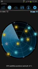
What one can do to avoid such situations is to evaluate the GPS accuracy of
one’s current position. As mentioned earlier, GPS positioning requires the
presence of at least three to four satellites. This can be determined using
handheld GPS receivers or convenient smartphone apps.
inViu
GPS details is a free Android app that shows the satellites in orbit, GPS
accuracy, cardinal direction, compass, GPS time, and current location. When
using GPS, let’s try to use our eyes and trust in solid data before driving
into situations that can be easily dodged.
These mishaps are rare cases, and for the most part, GPS has proven its
value for both private and business use. If you’re looking to enhance your
business with GPS,
contact ENAiKOON or check the list of
case studies to see if there’s a solution for your industry.
Otherwise, if you want to have a little fun by turning your phone into a
complete GPS receiver or
GPS
tracking device, explore our
free Android apps.
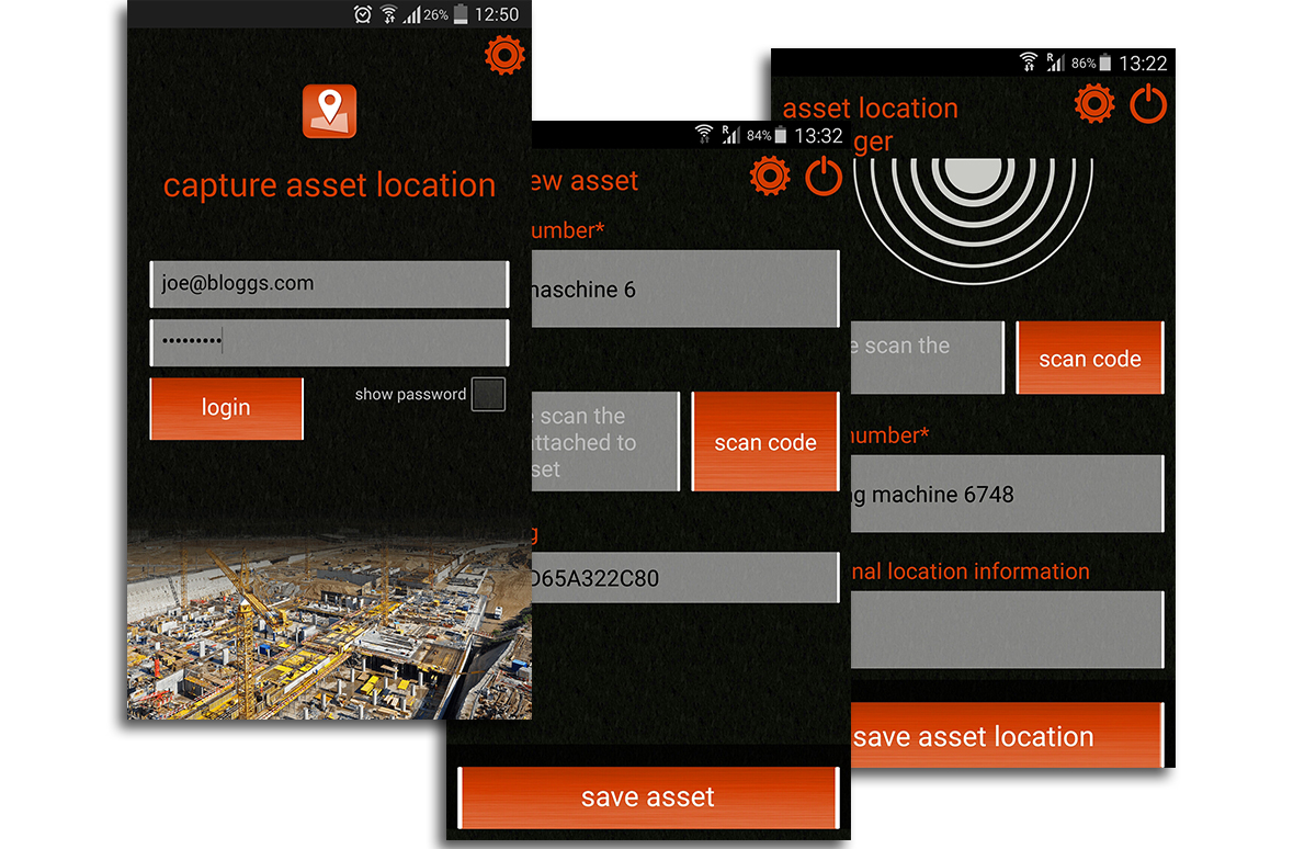
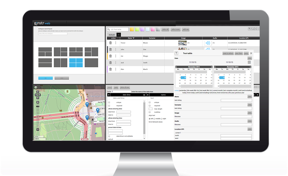
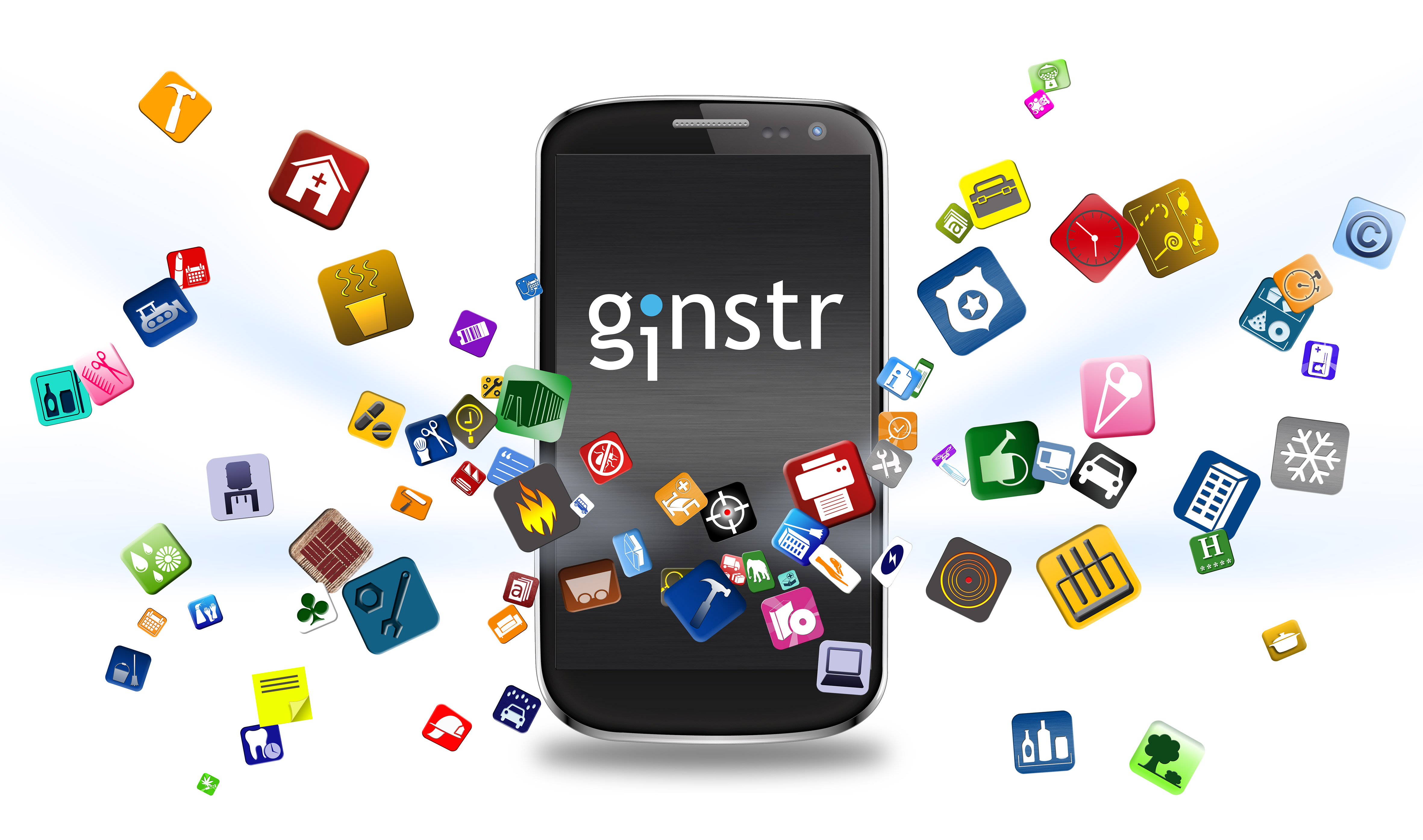 ginstr is a full sister company of ENAiKOON. Like ENAiKOON, ginstr focuses exclusively on commercial customers.
ginstr specialises in the digital collection of form
data, the optimisation of work processes and the development of
customised applications and business solutions for companies in all
industries. This includes Internet connection and data transfer to
headquarters.
The focus is on implementing previously used paper forms as smart phone apps.
ginstr is a full sister company of ENAiKOON. Like ENAiKOON, ginstr focuses exclusively on commercial customers.
ginstr specialises in the digital collection of form
data, the optimisation of work processes and the development of
customised applications and business solutions for companies in all
industries. This includes Internet connection and data transfer to
headquarters.
The focus is on implementing previously used paper forms as smart phone apps.
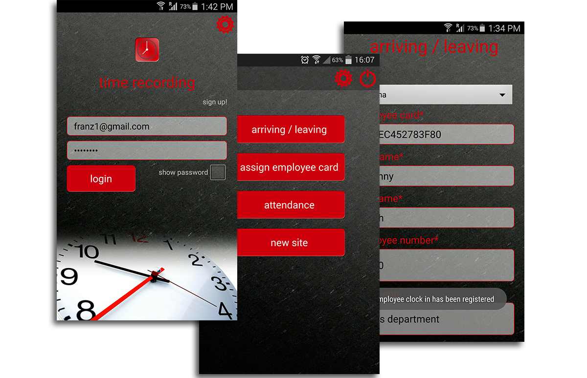 We have invested more than 1 million Euros in this technology to
date, making it possible to convert almost any paper form into a smart
phone app for a lump sum of only 790 Euros.
–>This provides ginstr customers with a number of valuable benefits:
We have invested more than 1 million Euros in this technology to
date, making it possible to convert almost any paper form into a smart
phone app for a lump sum of only 790 Euros.
–>This provides ginstr customers with a number of valuable benefits:
 Collected information is immediately available at headquarters
 Since the platform was released about a year ago, a number of companies have already decided to use the ginstr technology.
Solutions were implemented in very different industries and regions of the world for these companies.
Below are some examples:
Africa
Since the platform was released about a year ago, a number of companies have already decided to use the ginstr technology.
Solutions were implemented in very different industries and regions of the world for these companies.
Below are some examples:
Africa